Topographic Surveying
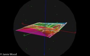
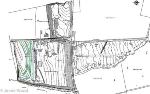
Topographic Surveys involve the production of maps and plans which are true to scale. The maps are created to exactly represent details of both the natural and built environments.
Using equipment including GPS and Robotic Total Stations, Laser Scanners and Precise Digital Levels with on-board digital storage, JKW Environmental can measure any feature of the built or natural environment swiftly and precisely and to the highest standard attainable.


